Well, 2014 just ended and 2015 rolled in. We Thank God for the past year, and look forward to 2015.
Well, 2014 just ended and 2015 rolled in. We Thank God for the past year, and look forward to 2015.
On our second day at Mt. St. Helens, we went to the Seven Wonders Museum. Lloyd and Doris Anderson along with Kim Jones showed the Biblical implications of what had happened from the erruption. They led us on a guided tour to the main side of the mountain. We were also priviledged to meet the Curator of the San Diego based Creation and Earth History Museum. He and his family were also on the tour. The tour was excellent and interesting! It started with looking through the museum followed by a slide show and talk by Mr. Anderson. Then visits to several sites along Spirit Lake Highway and some hiking.
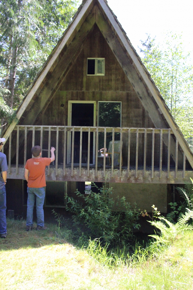
This A-frame was fairly new at the time of the erruption. It was fourteen miles from the volcano. One would have thought it would be a safe site. But when the mud started flowing it dealt a generous helping of mud to the cabin burying the bottom floor with about four feet of mud.
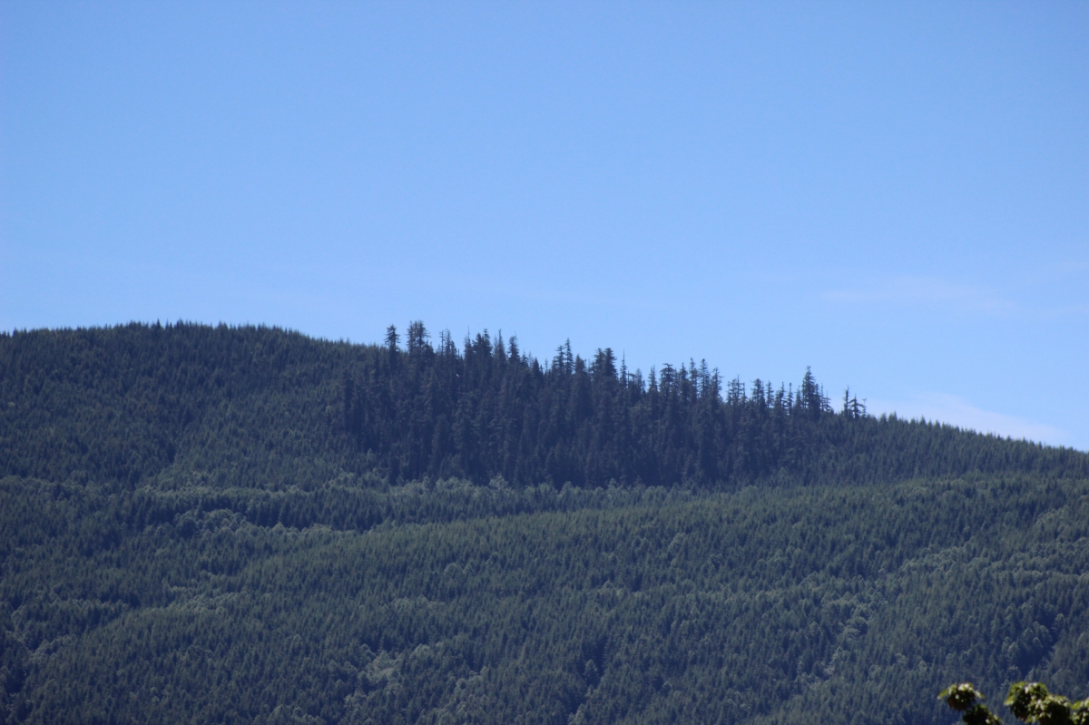
In this picture you can see a few trees that survived the steam blasts, surrounded by many new trees planted by the forestry companies.
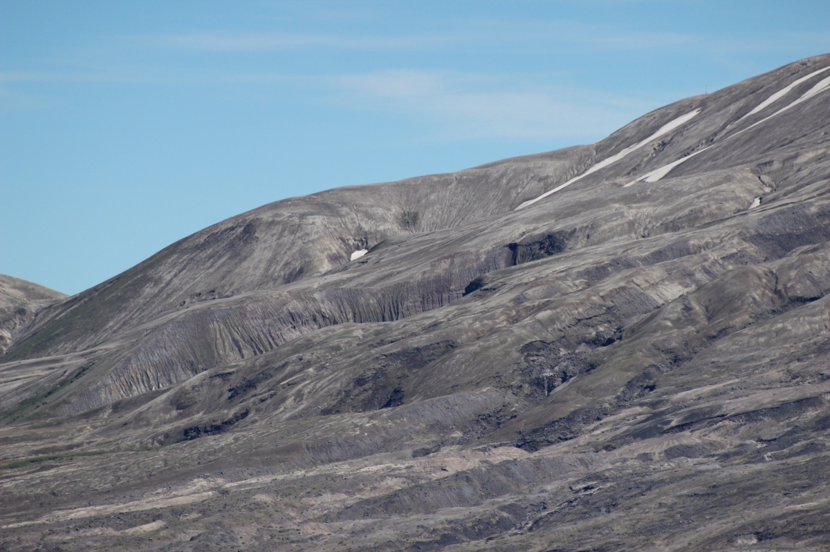
Many areas still look like a disaster compared to the forests that once stood there.
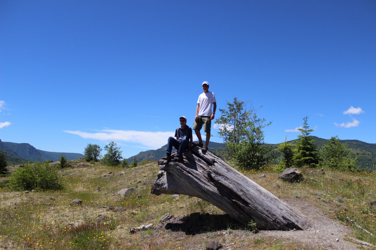
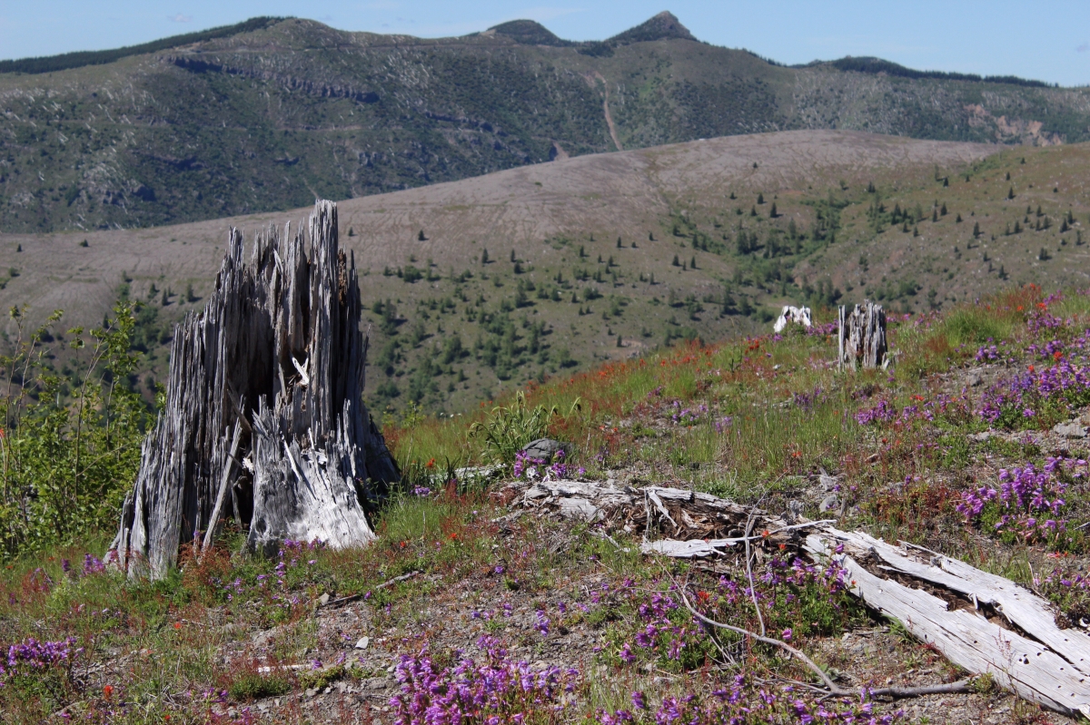
Standing on the stump of a tree which was partly buried by the landslide.
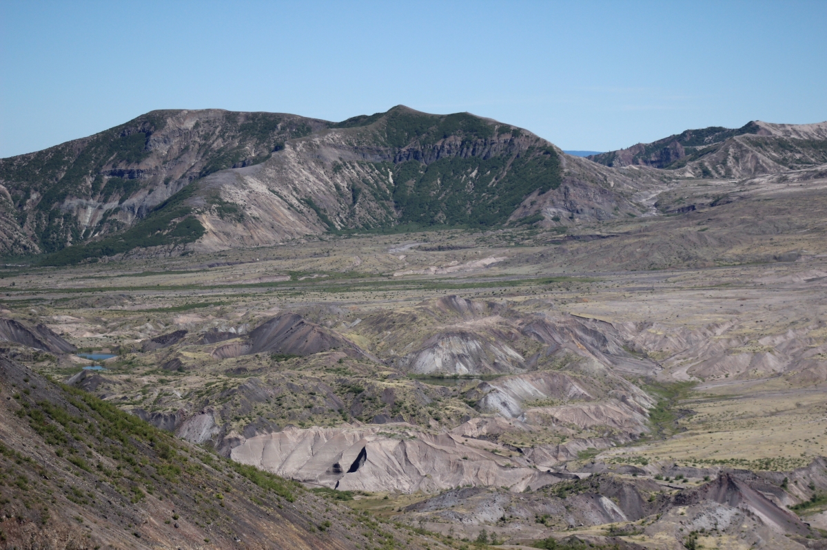
We were on a ridge quite a distance from the mountain, but some of the areas we were on were at least 200 feet higher than they were pre-1980. There were lots of hummocks in this area formed by the landslides.
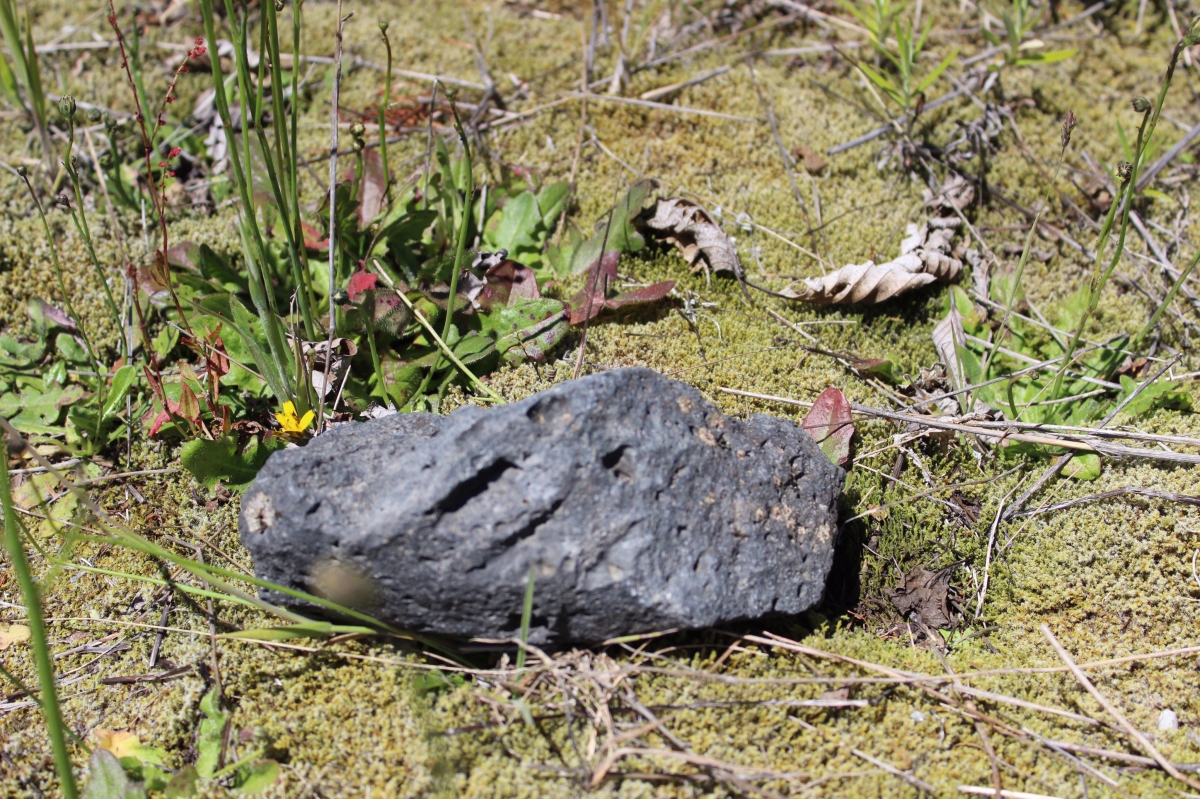
An igneous rock among some of the new growth.
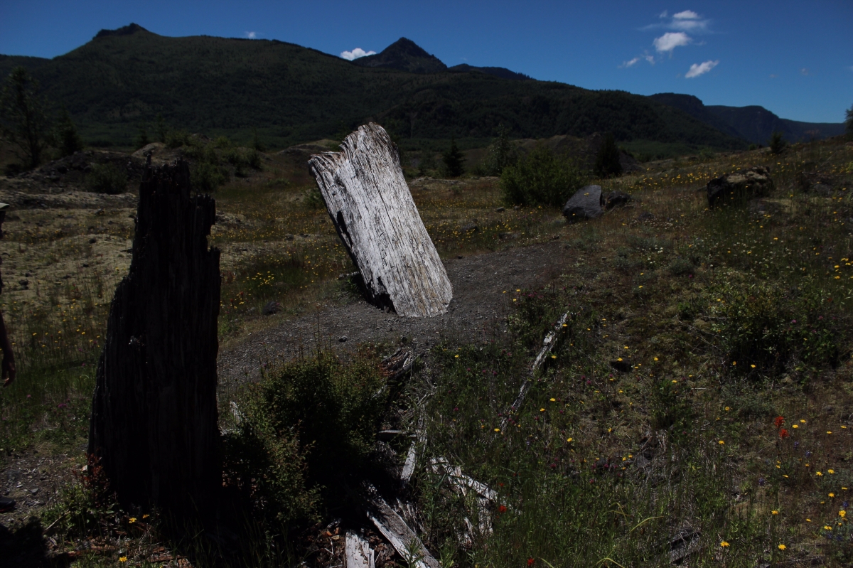
The trees are still lying around after over three decades.
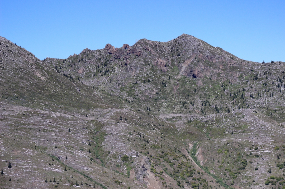
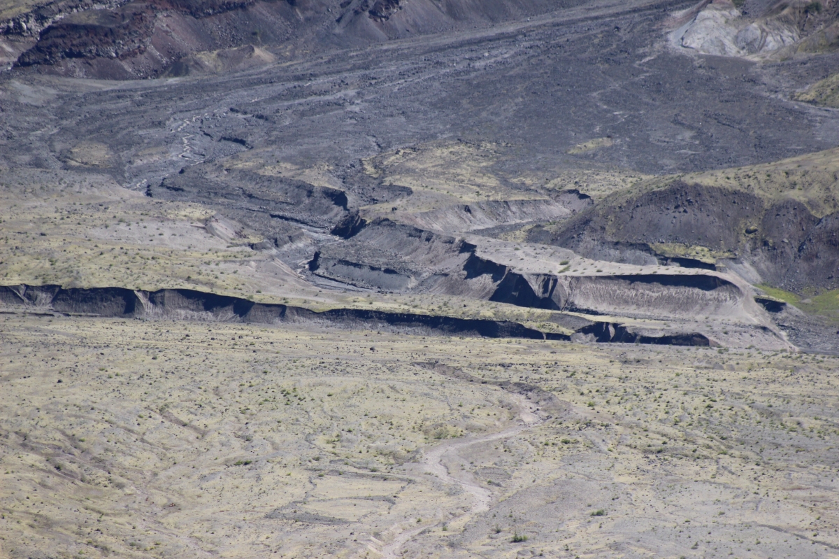
Some badland and erosion formations caused by the volcano.
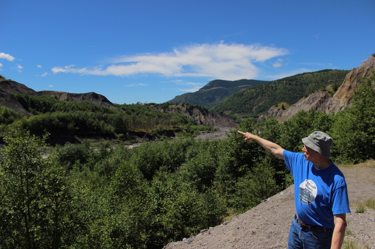
This was one of our tour guides, Lloyd Anderson, the director of the Mt. St. Helens Creation Museum. It was great having him and Kim Jones lead us with their knowledge of the area.
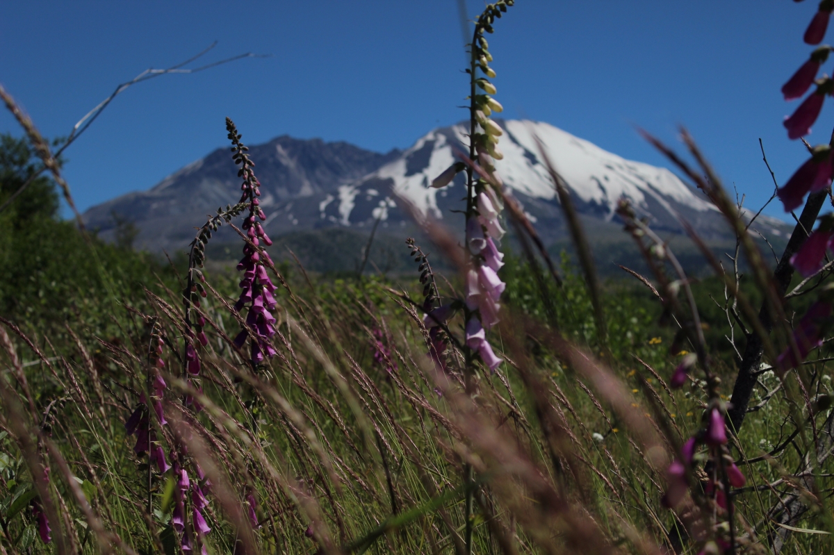
Some beautiful scenery.
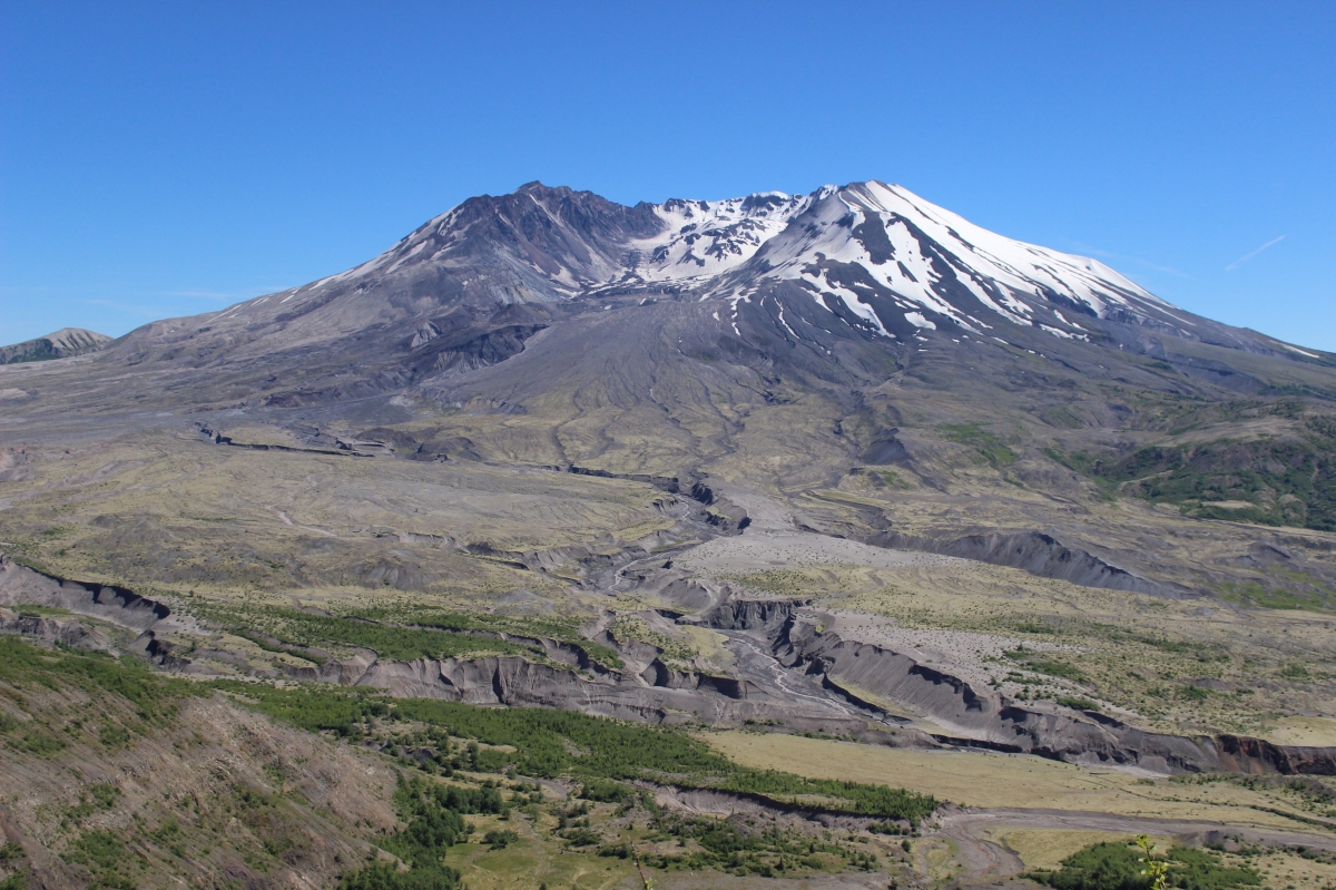
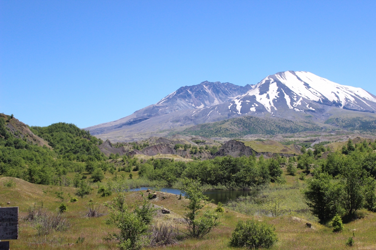
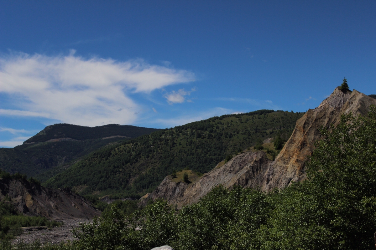
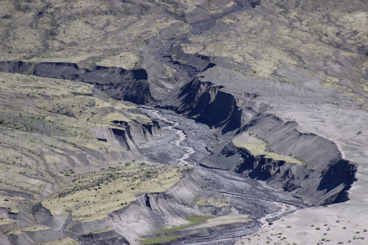
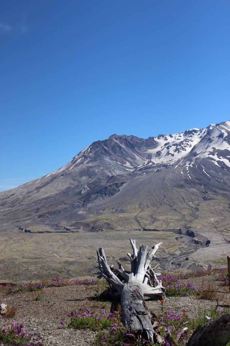
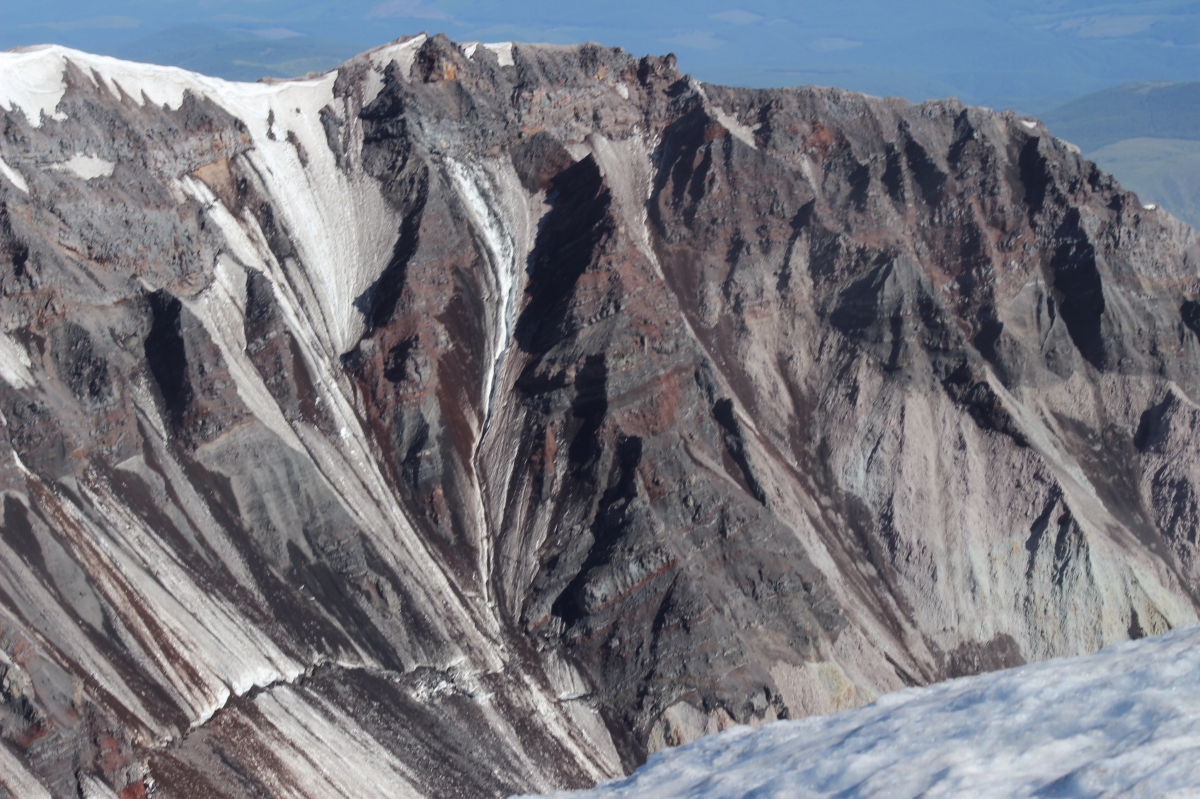
And the volcano with its canyons. This particular photo was taken high on Johnston Ridge.
Badlands.
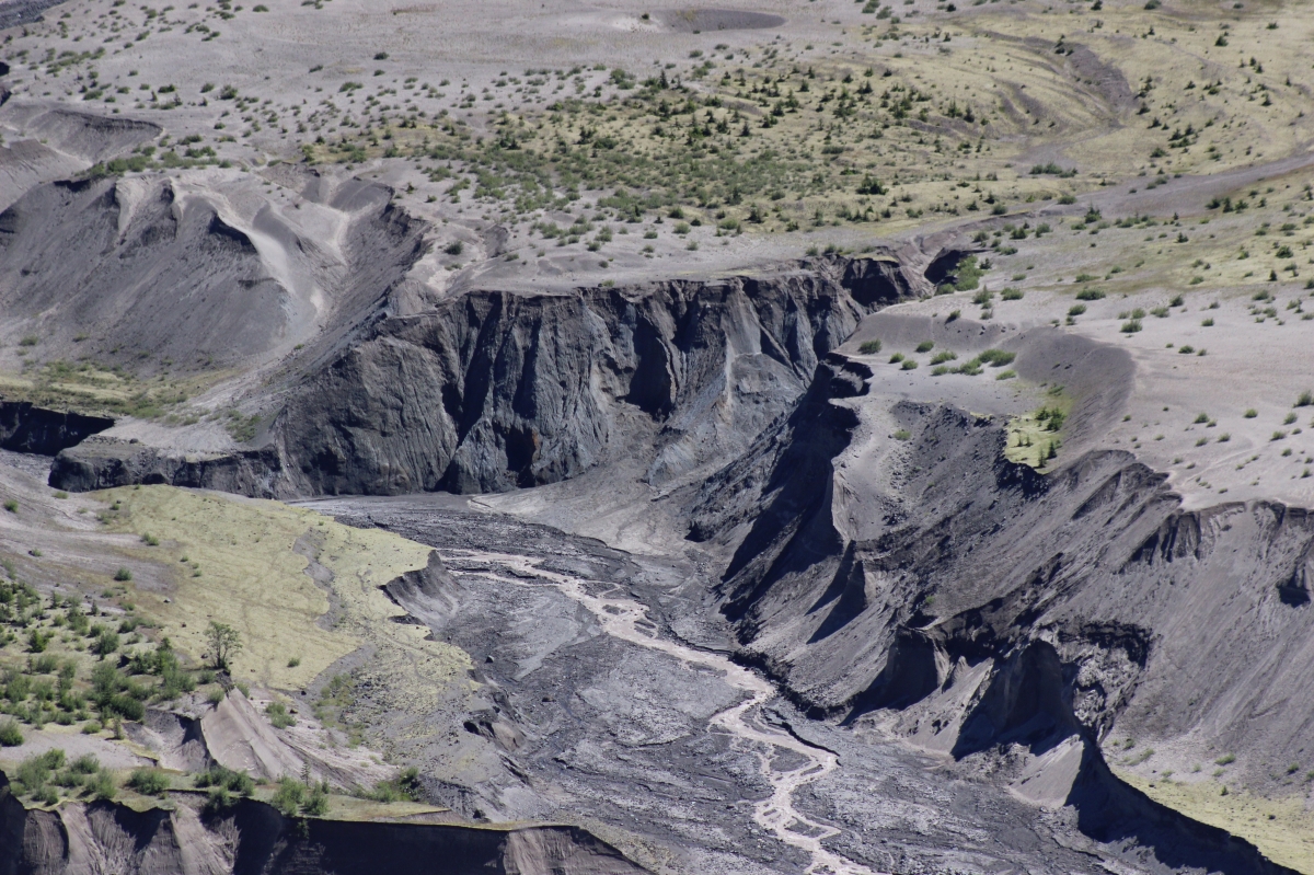
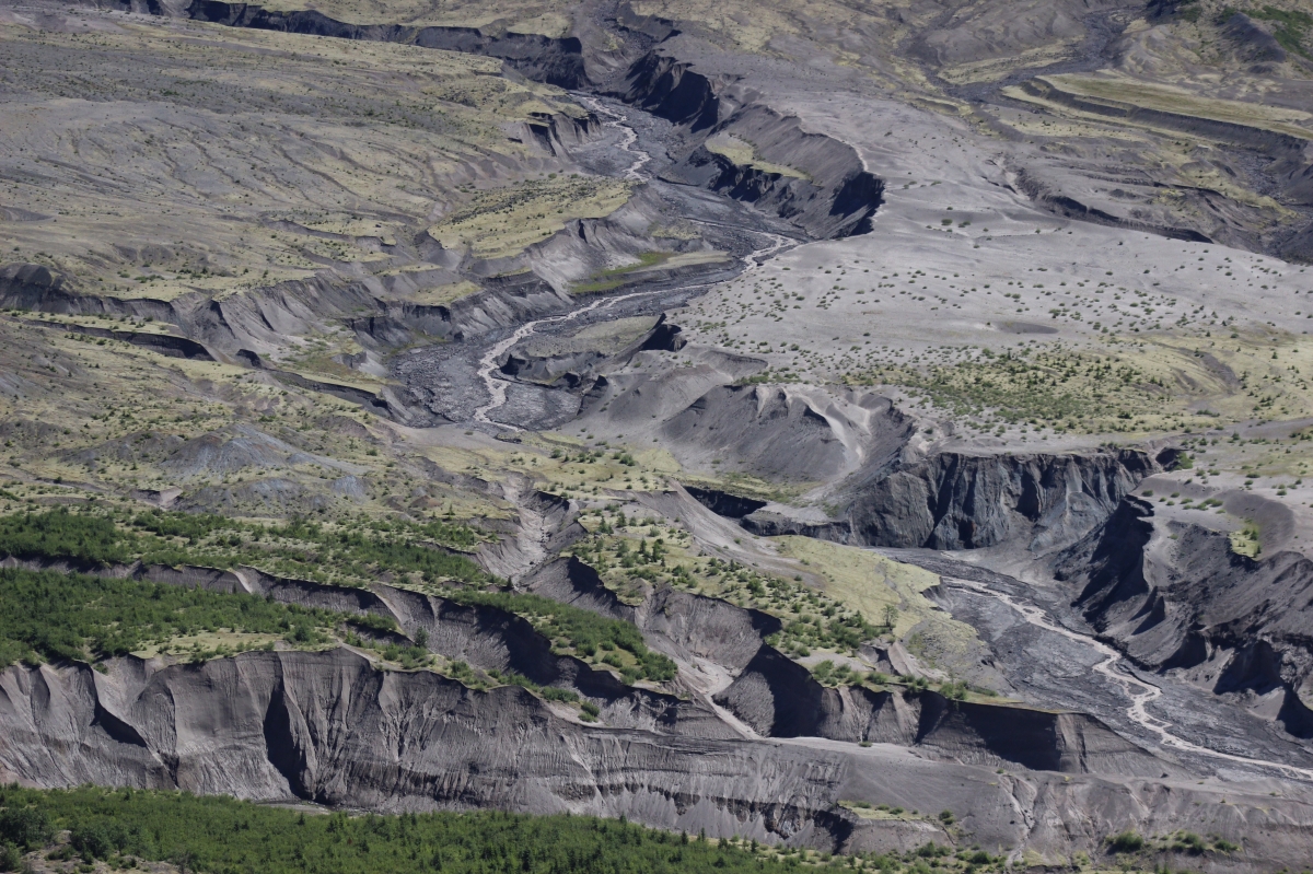
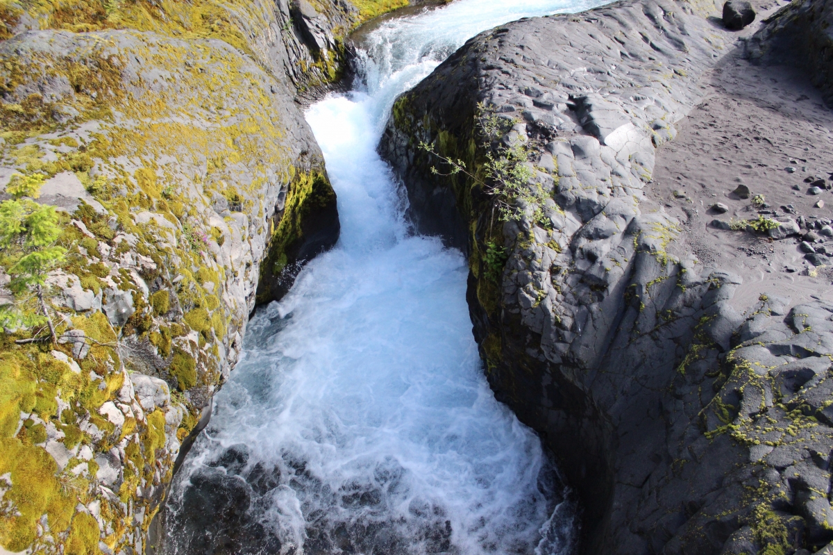
The canyons were huge. They would have been cool to tour but because of the dangers of a live volcano and park restrictions, only people with special research permits are allowed down in this valley. The significance of these canyons is that they were formed in hours, some of them through solid rock, the tallest of them is 140 feet deep. The fact that these formed in hours means that the Grand Canyon didn’t have to take millions of years to form. It could have formed in a day while the flood waters were draining. Observable Science doesn’t contradict the Bible! Rather it proves that the Bible is true.

Amazing scenery!
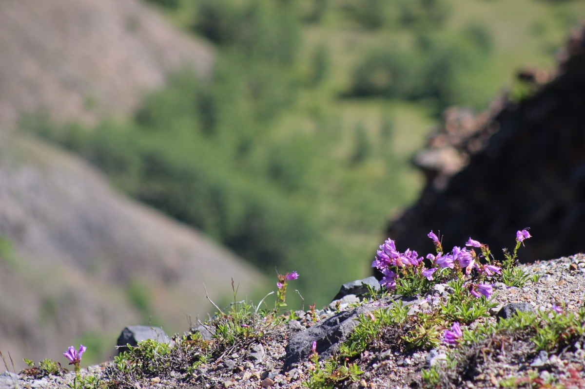
God’s rock gardens!
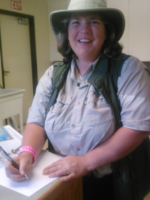
Kim Jones signing “The Case Of The Missing Mountain” which she wrote.
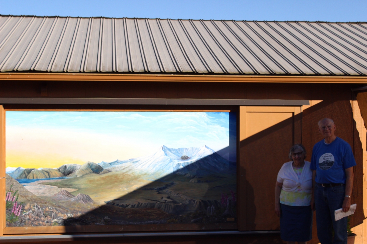
And a picture of the directors of the Museum in front of their mural. Sorry for the big shady area on the picture, it was so nice and sunny during our visit that it was hard to get a good picture, but I guess we can’t complain. The Andersons were great to us and Mrs. Anderson even served our whole group a meal after the tour!
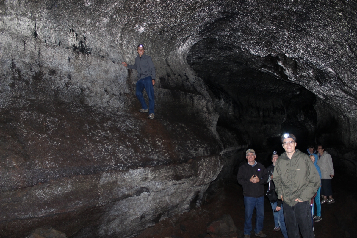
Last Sunday, June 29, after singing at Three Rivers Bible Church in Kelso, we started the tour of the Mt. St. Helens area. We started off with the south side of the mountain which had not seen the devastating effects of the 1980 blast. What it did have though was pretty interesting. First of all we hiked the Ape Caves. The Ape name comes from the name of the first group to explore the caves. These caves were formed by an erruption of Mt. St. Helens over 150 years ago. They were lava flows where the lava on top kept cooling while the lava underneath flowed out and left a long tunnel-like cave. There were two parts to the cave there, Dad and us older guys went in the 2.2 mile upper one while Mom, my aunt and the younger kids went in the lower one.
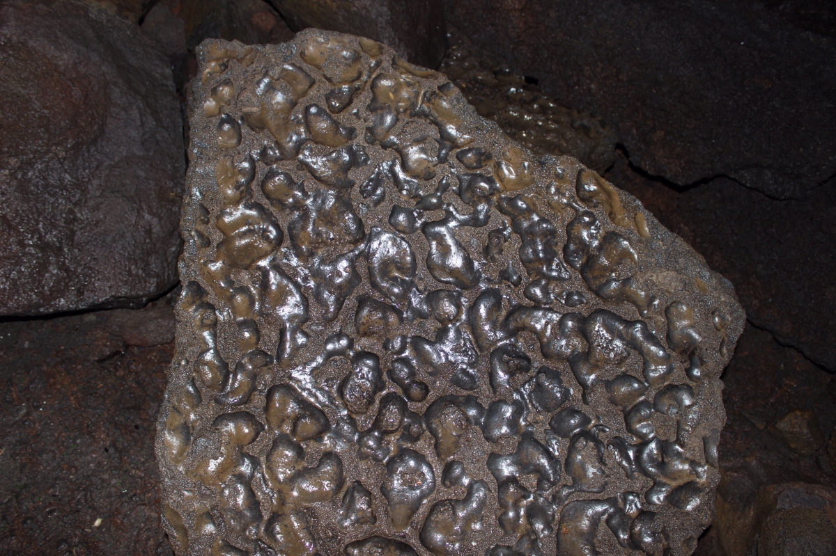
There were many rock falls to climb over in the upper cave, this one was definitely of volcanic origin.
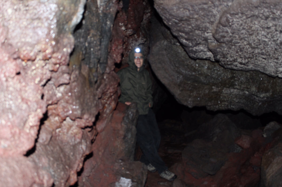
Most of the areas in the cave were around twenty feet wide and ranging in height from fifteen to thirty feet but a few places it got pretty tight and you had to basically crawl or step sideways through a narrow opening.
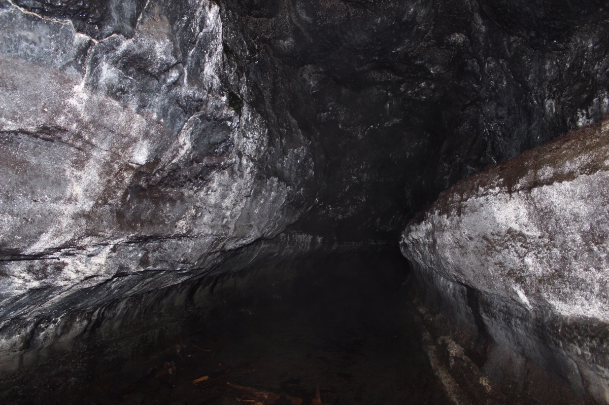
The caves were somewhat reflective in places.
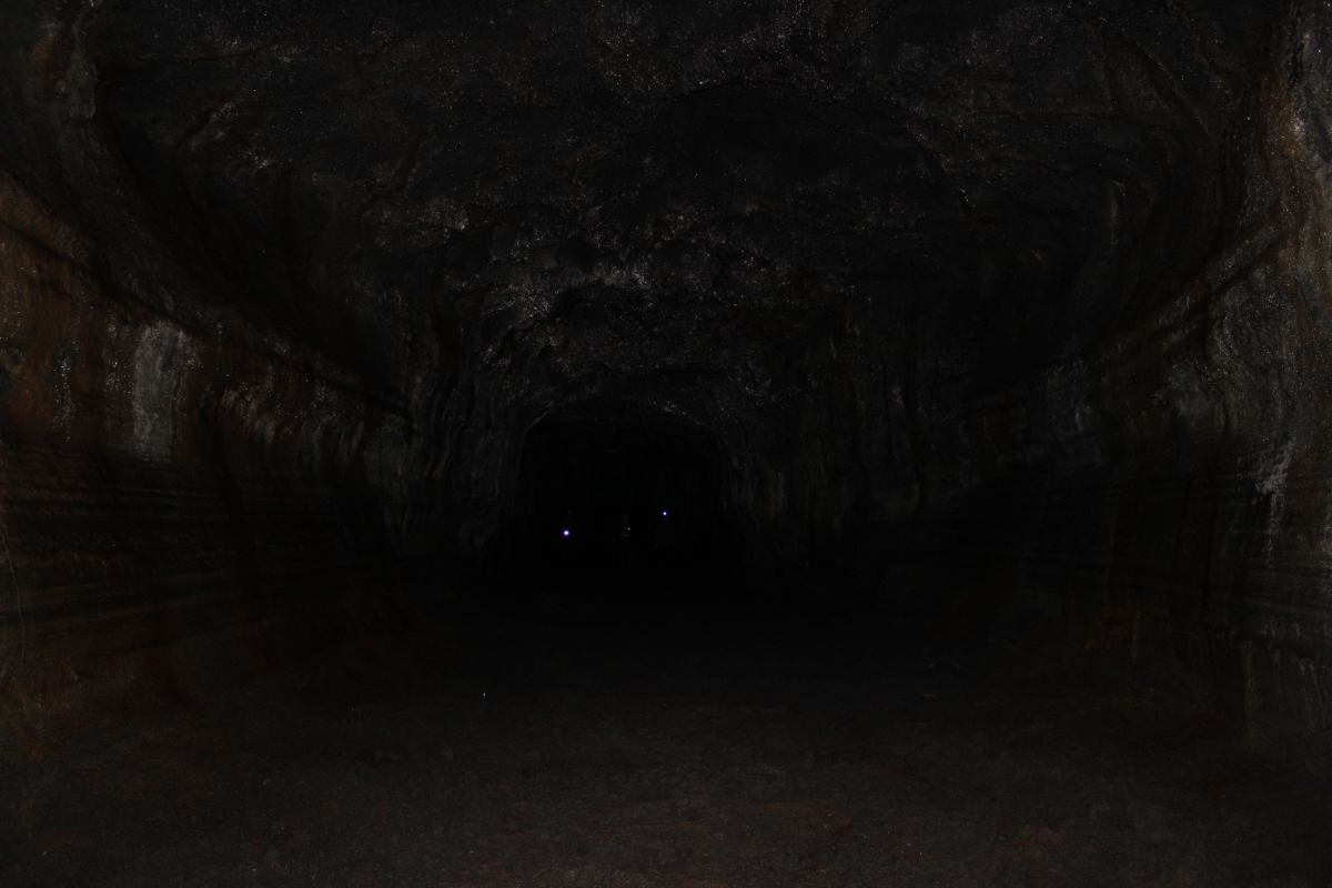
Sometimes you would walk over a rock pile and be in a big roomy spot with a nice gravel floor, other times…. well, the floor was like a puddle.
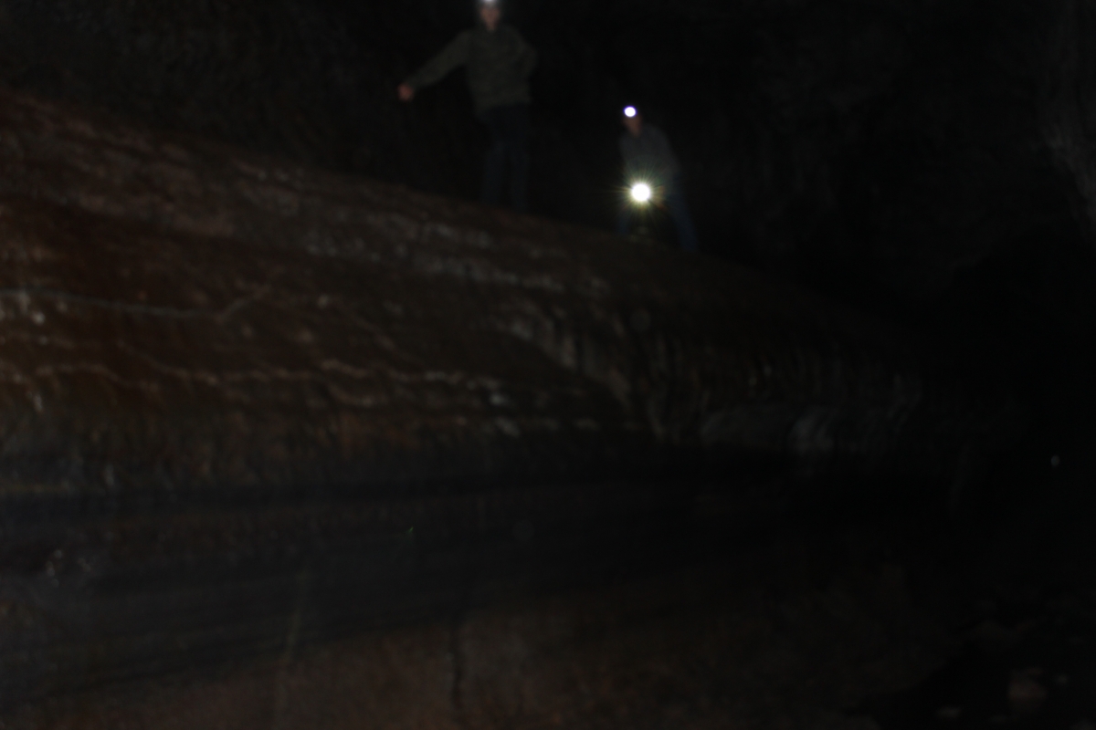
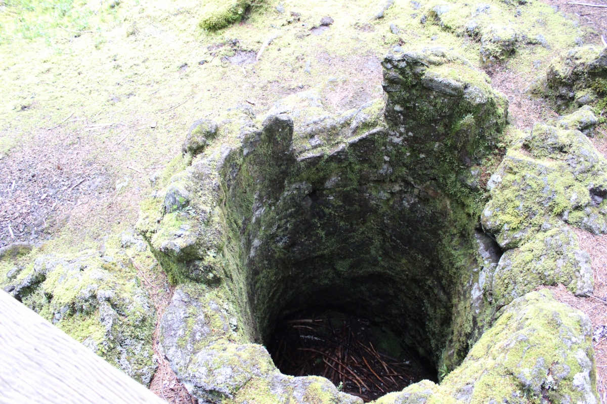
I walked on the bottom although some of my brothers thought the sides would be fun to walk on. Sorry for the dark blurry pictures, the only light in the cave was what you brought in so the camera wouldn’t focus properly.
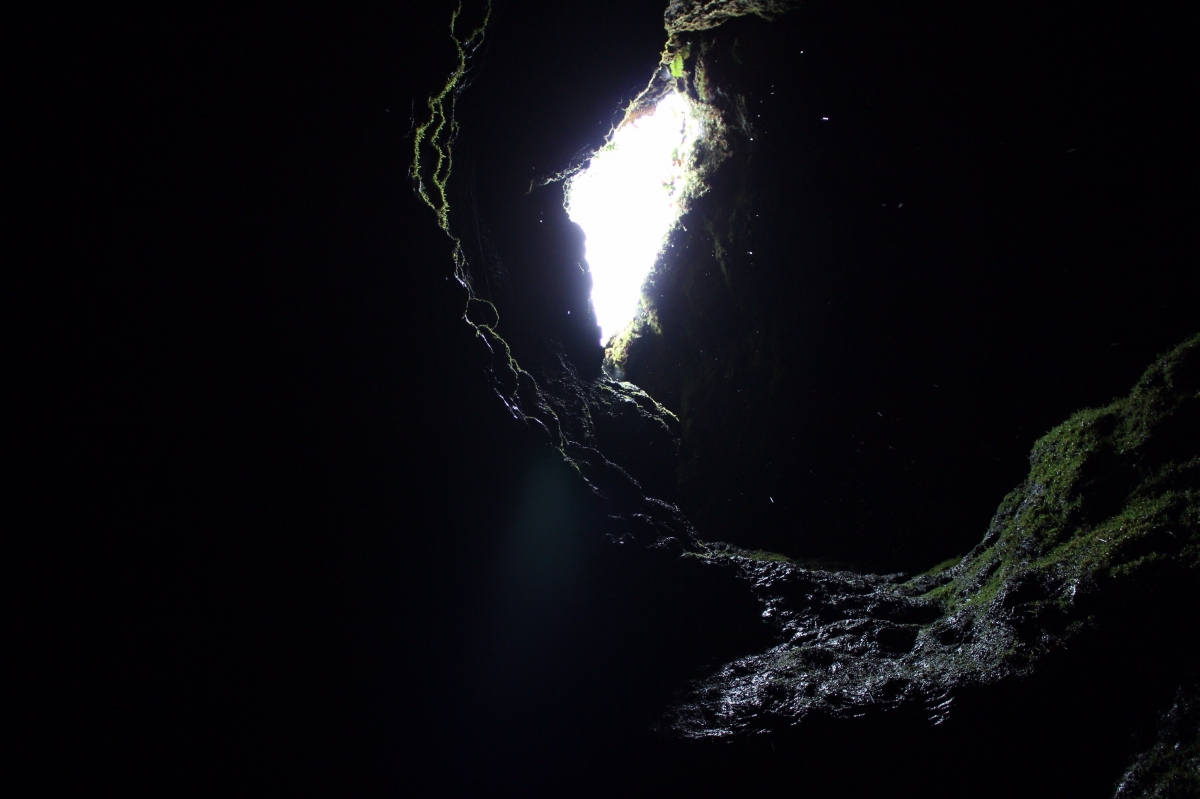
A window into the cave from above.
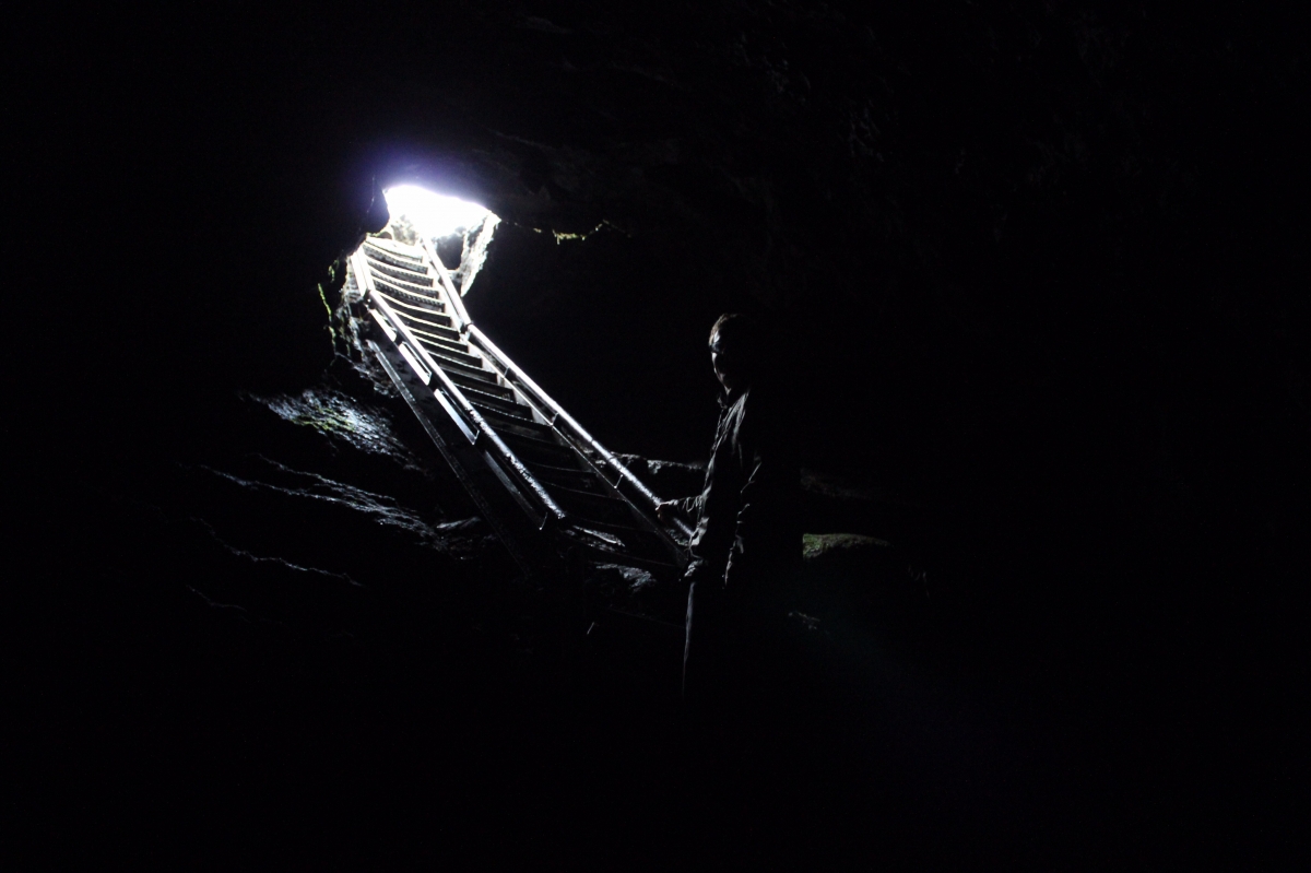
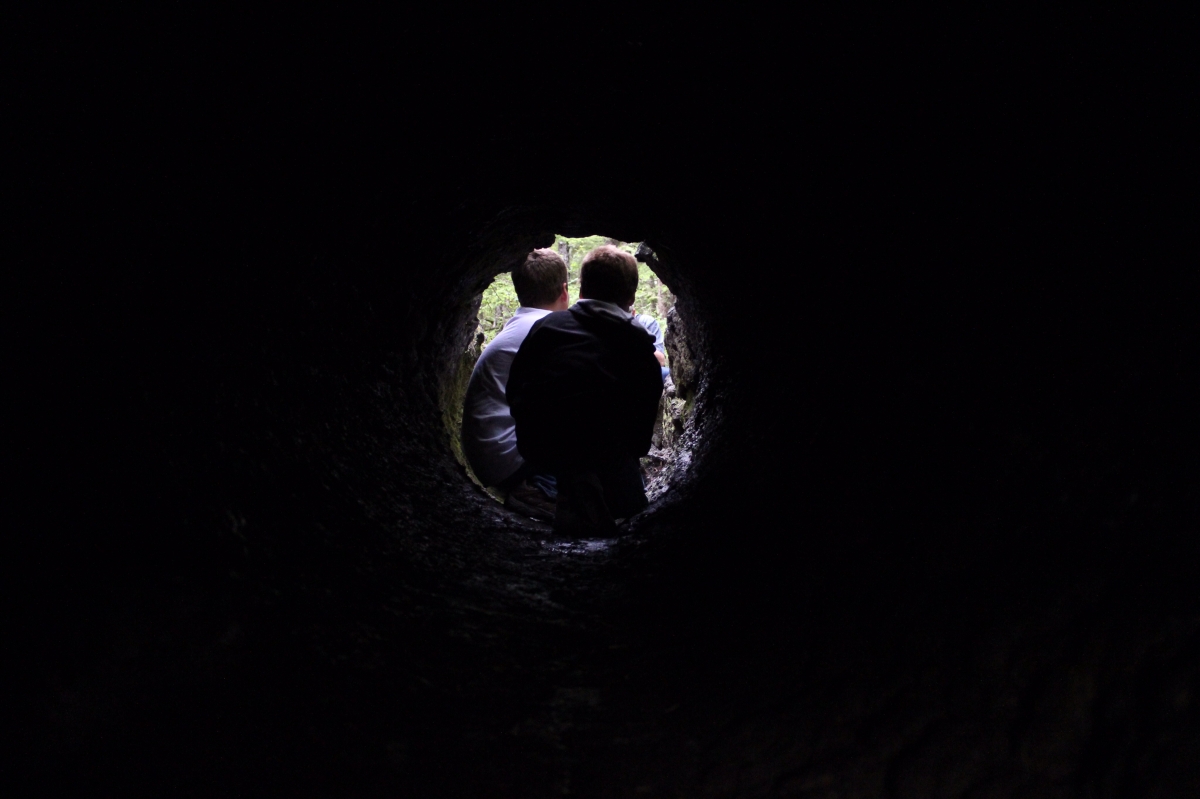
And the exit, it may not look small on this picture but you have to crawl out of there and it gets pretty tight.
After the Ape Caves, we went to the Trail of Two Forests where we saw lava casts of what used to be a forest. These lava casts were caused by lava flowing through a forest in an erruption previous to 1980. The slightly cooled lava solidified around the trees while incinerating them, which left a bunch of tree-patterned holes in the ground.
One fallen tree was engulfed by the lava. You could crawl through it.
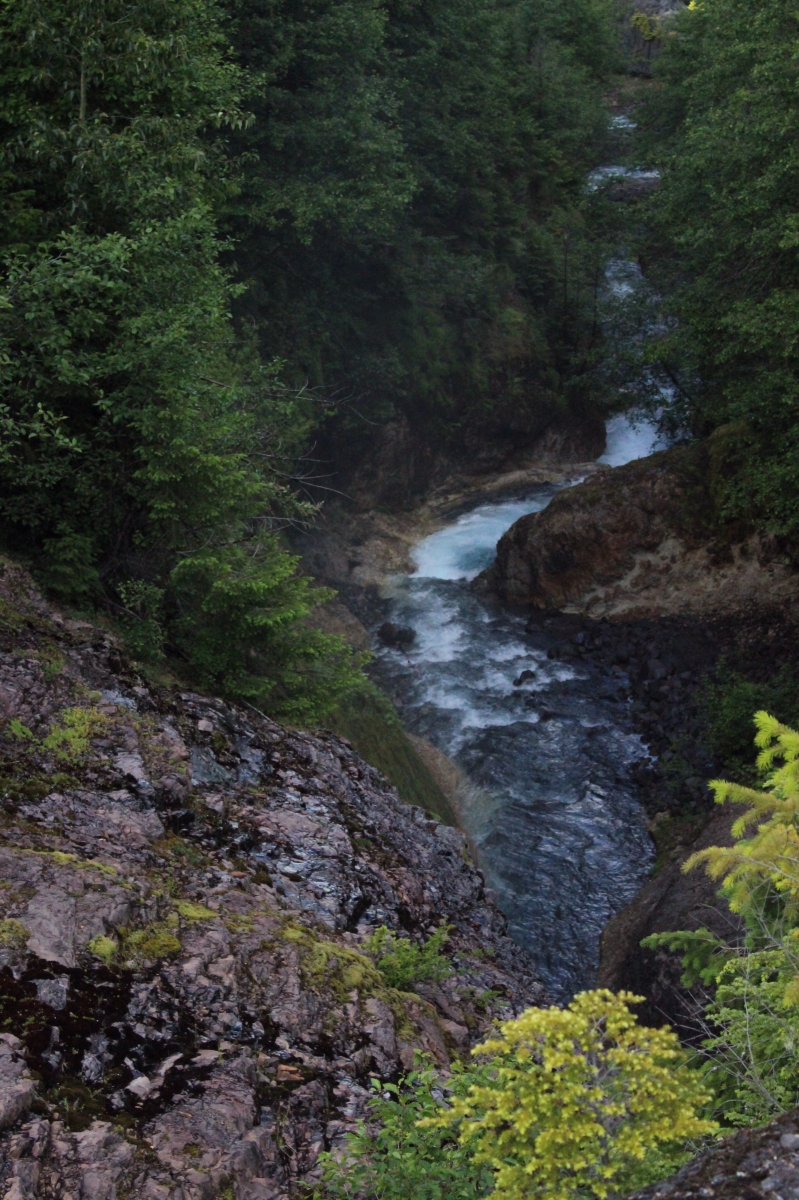
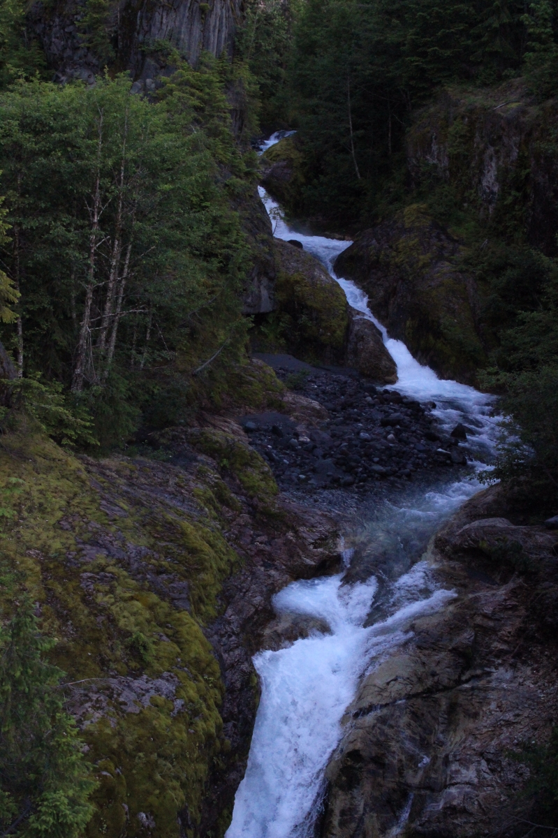
Following that we went to Lava Canyon.
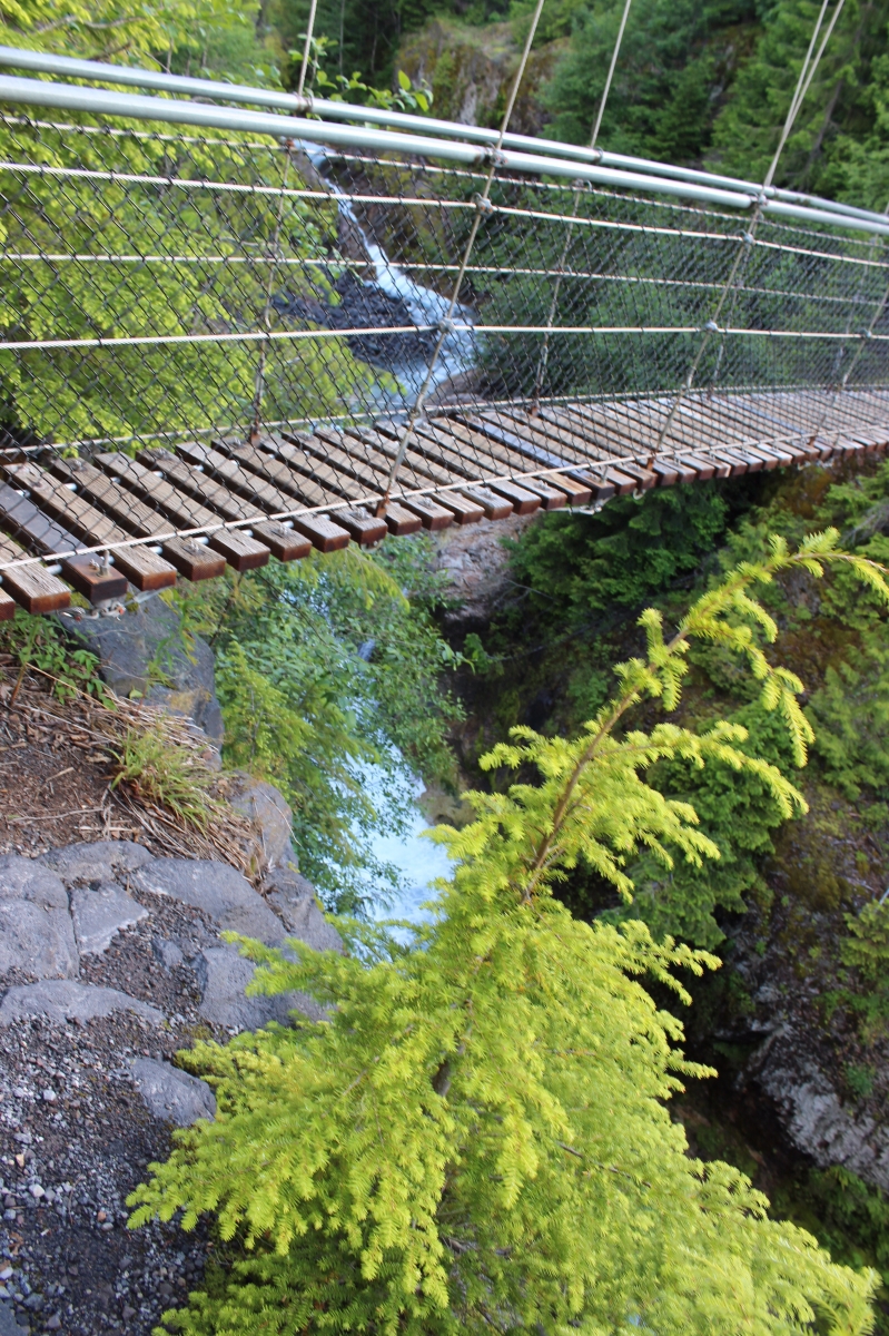
A fun suspension bridge way above the falls.
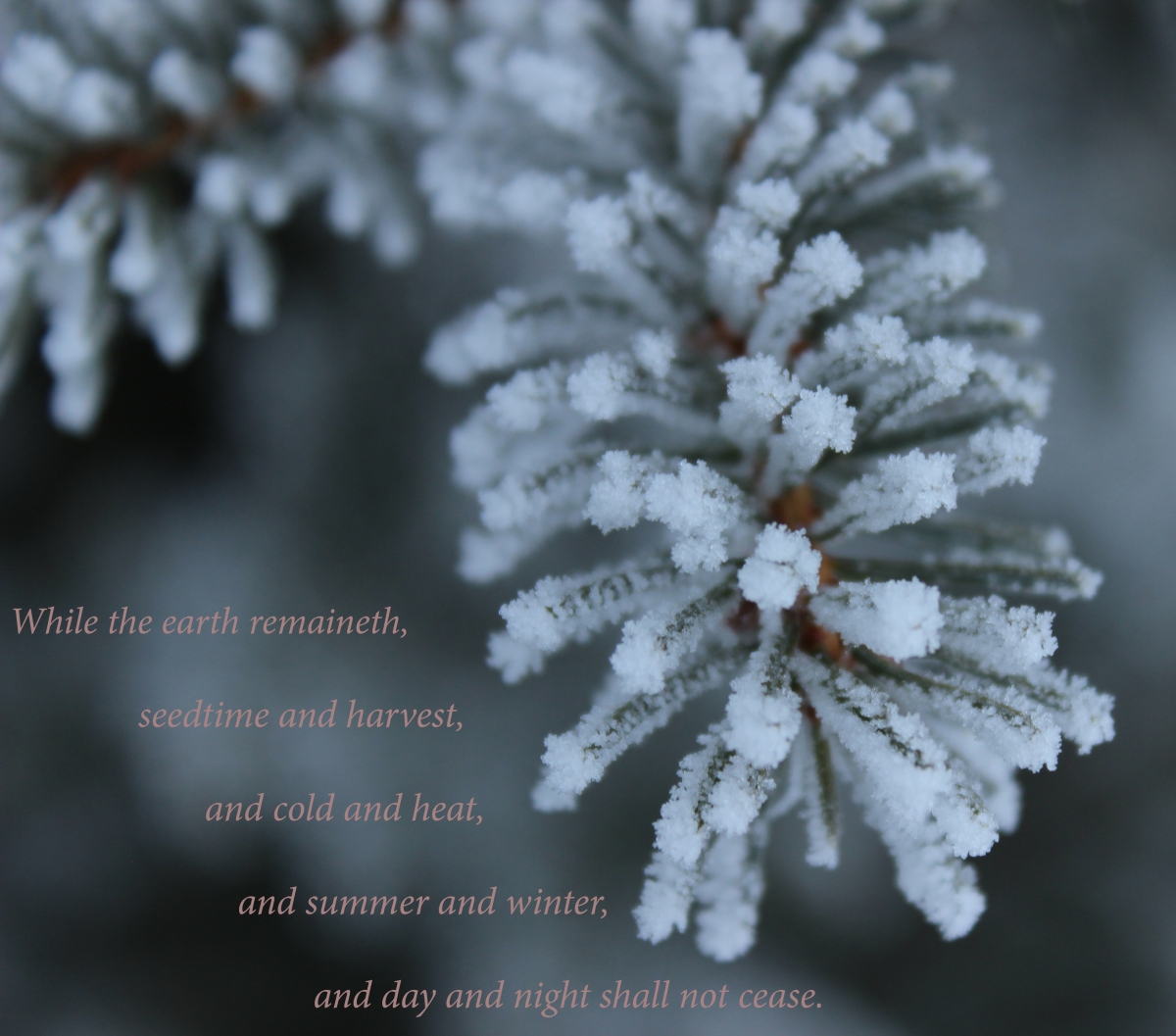
He casteth forth his ice like morsels: who can stand before his cold? He sendeth out his word, and melteth them: he causeth his wind to blow, and the waters flow.
Psalm 147:17,18.
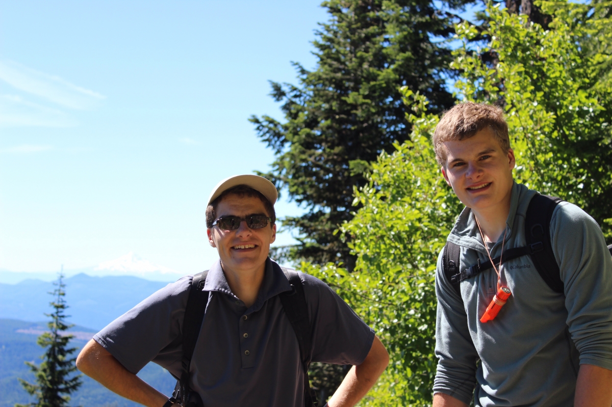
On Tuesday, July 1st at 5:10 in the morning, we set off on a brisk hike to climb Mount St. Helens. There were beautiful views the whole way up. The first two miles were an easy walk through the forest with about a 1000 foot gain in elevation. Levi, Jesse and I forged ahead of Dad and Micah because we didn’t know what we were in for and Levi had to be off the mountain by twelve so he could catch his flight back home.
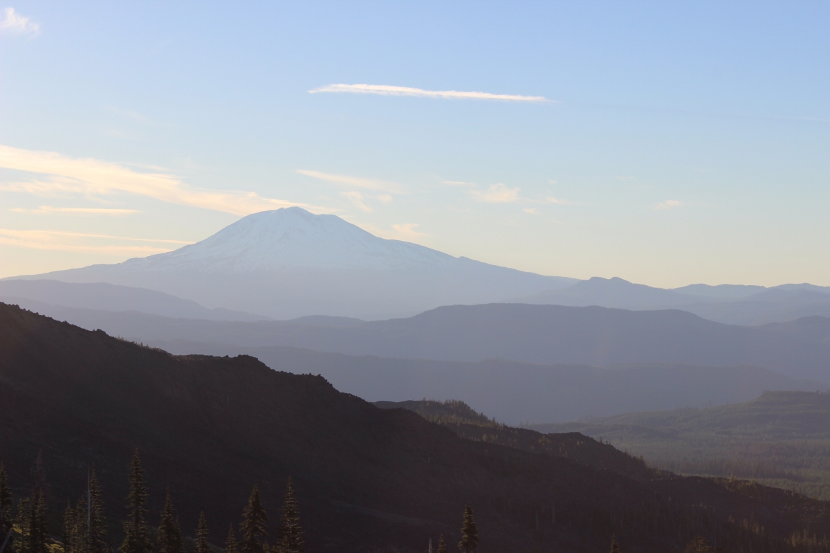
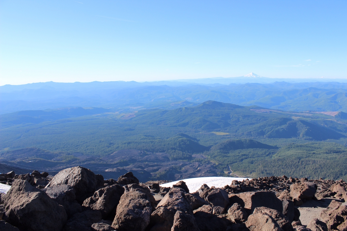
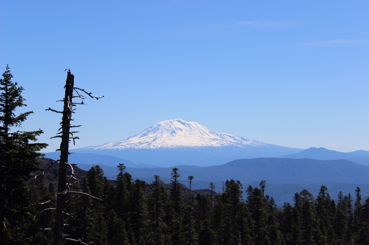
A view of Mount Adams from the lower slopes of Mt. St. Helens.
After we passed the tree line, we started the two miles of rock ridges. They were reasonably hard climbing over lots of boulders.
We stopped a few times on the rock slopes for a few minutes to rest, but Jesse and Levi kept us moving fast, so I couldn’t get too many pictures.
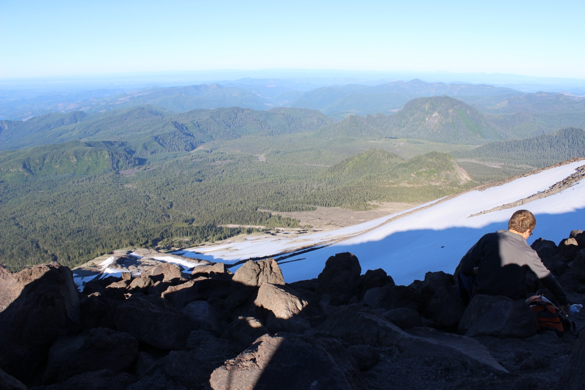
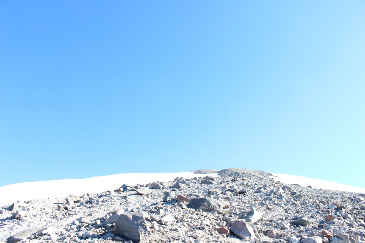
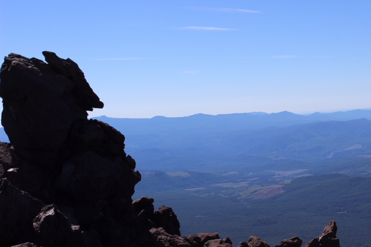
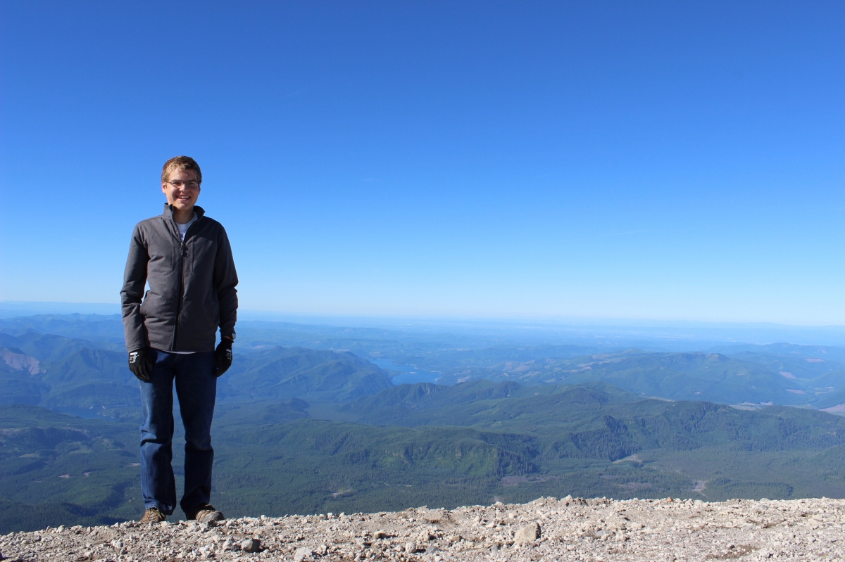
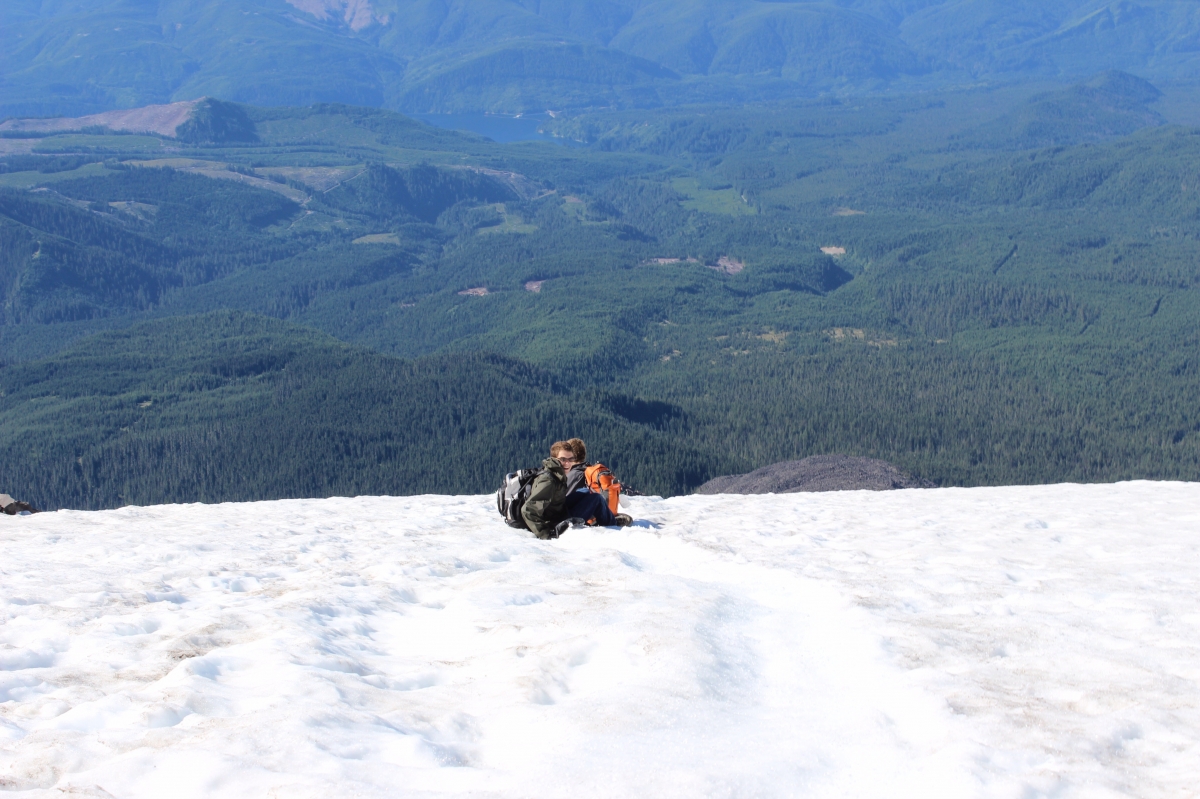
After the rock slopes, we had about a mile of steep ashy gravel to climb, by that time the thinner air and all the climbing as well as the dry wind had us tired, so we walked slower and took a number of breaks. We didn’t know how far we had to go because the mountain kept on seeming to get higher as we climbed. But all of a sudden at about 8:30 am we realized that we were at the top.
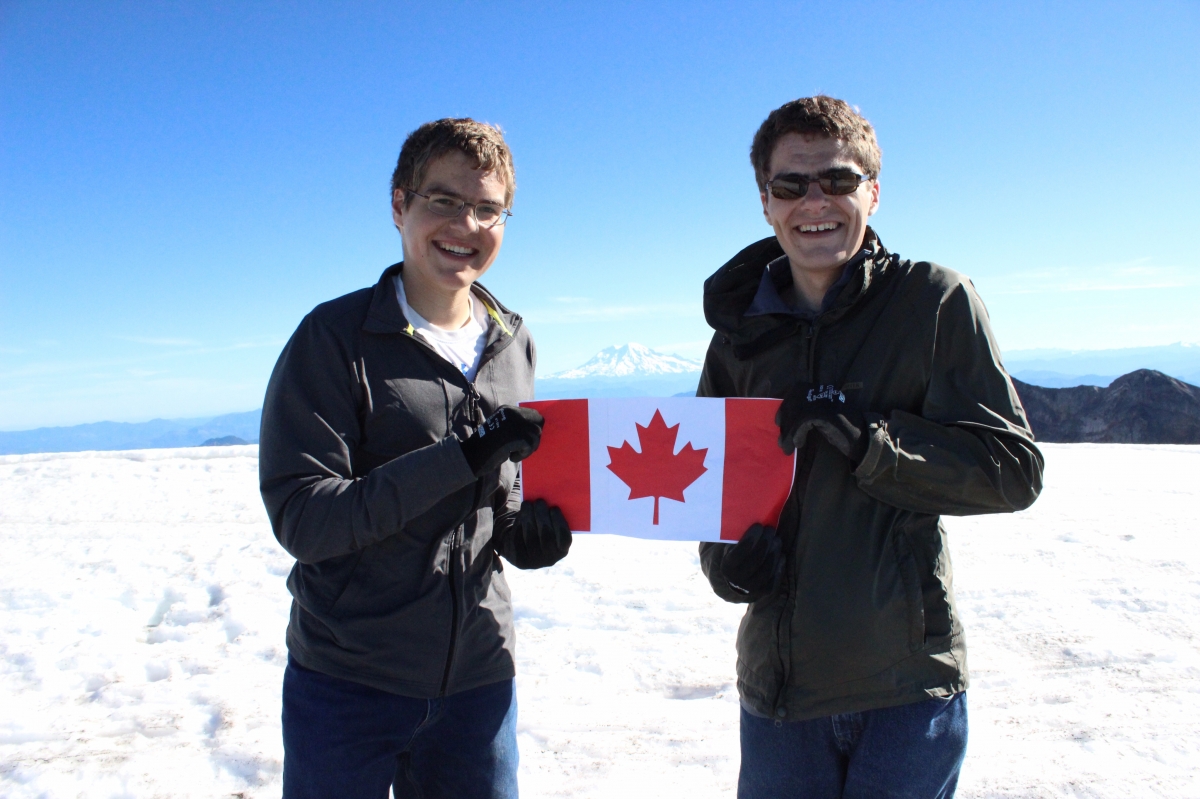
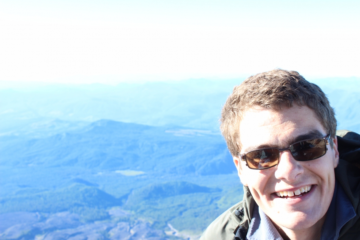
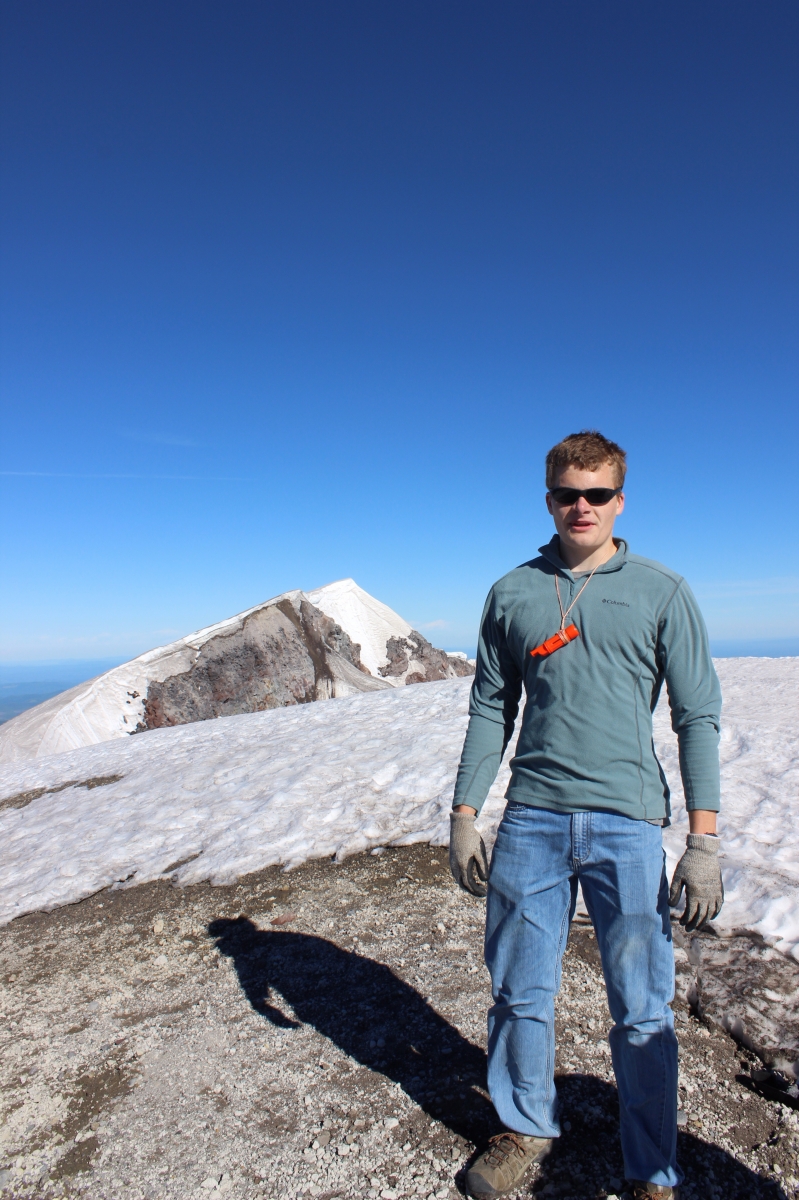
Of course we had to have a picture with a flag, because it was Canada Day. Notice another volcano, Mount Rainier, right over top of the flag.
Here is a picture of part of the inside of the crater. Unfortunately we couldn’t go any nearer the edge to get good pictures because there was snow hanging over the cliff and it would have been dangerous.
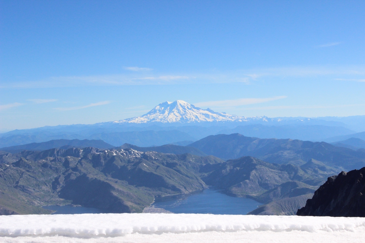
This is a view with Rainier in the back and part of Spirit Lake with its logs in the foreground.
Then came the fun part. Sliding down the mountain on garbage bags and on pants. At first we slid on our pants because we had left two of our packs part way down to speed things up. It was a good way to wear out pants because there was ash in the snow! We were glad we had brought garbage bags. The plan until the day before was to hike down, because we had heard that glissading (sliding) down the mountain was dangerous, but then the man working where we registered for our climbing permits said that many people did it and he had not heard of any injuries, so we should try it especially because of our time restraints. So we did. And we were thankful!
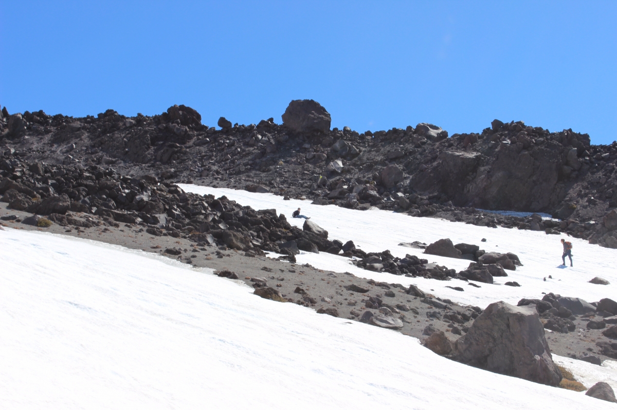
Micah and Dad were a ways behind us, they came within about an hour from the top, climbing about 4000 out of the 5000 ft of elevation. They decided to turn around then because of the time. So Levi, Jesse and I caught up to them by glissading down the mountain.
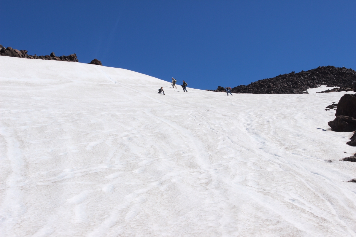
The rest of the trip down was pretty quick although there were some places we could not slide so that meant scrambling down the rock ridges. Us older boys wanted to beat the eight to twelve hours that most people do the climb in so once we got onto the path in the trees, we ran and walked fast. If you look closely, you can see Jesse glissading in the center of the picture.
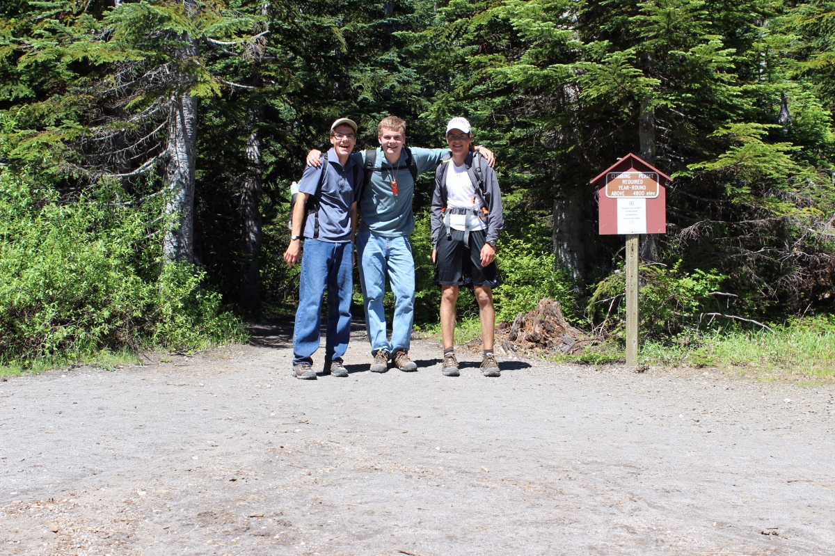
Done! At 11:20am. 6 hrs and 10 minutes…5 miles up and 5 back down.
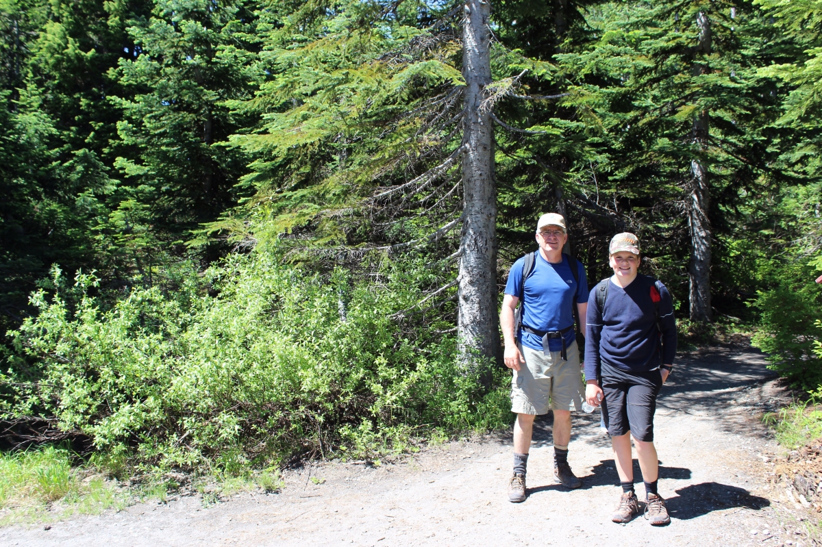
Then Micah and Dad came, a little later. It was a lot of fun plus a good workout! Levi headed for Vancouver with our aunt and got to his flight home on time so all was well. We are thankful for the safety that God granted to us on this climb.
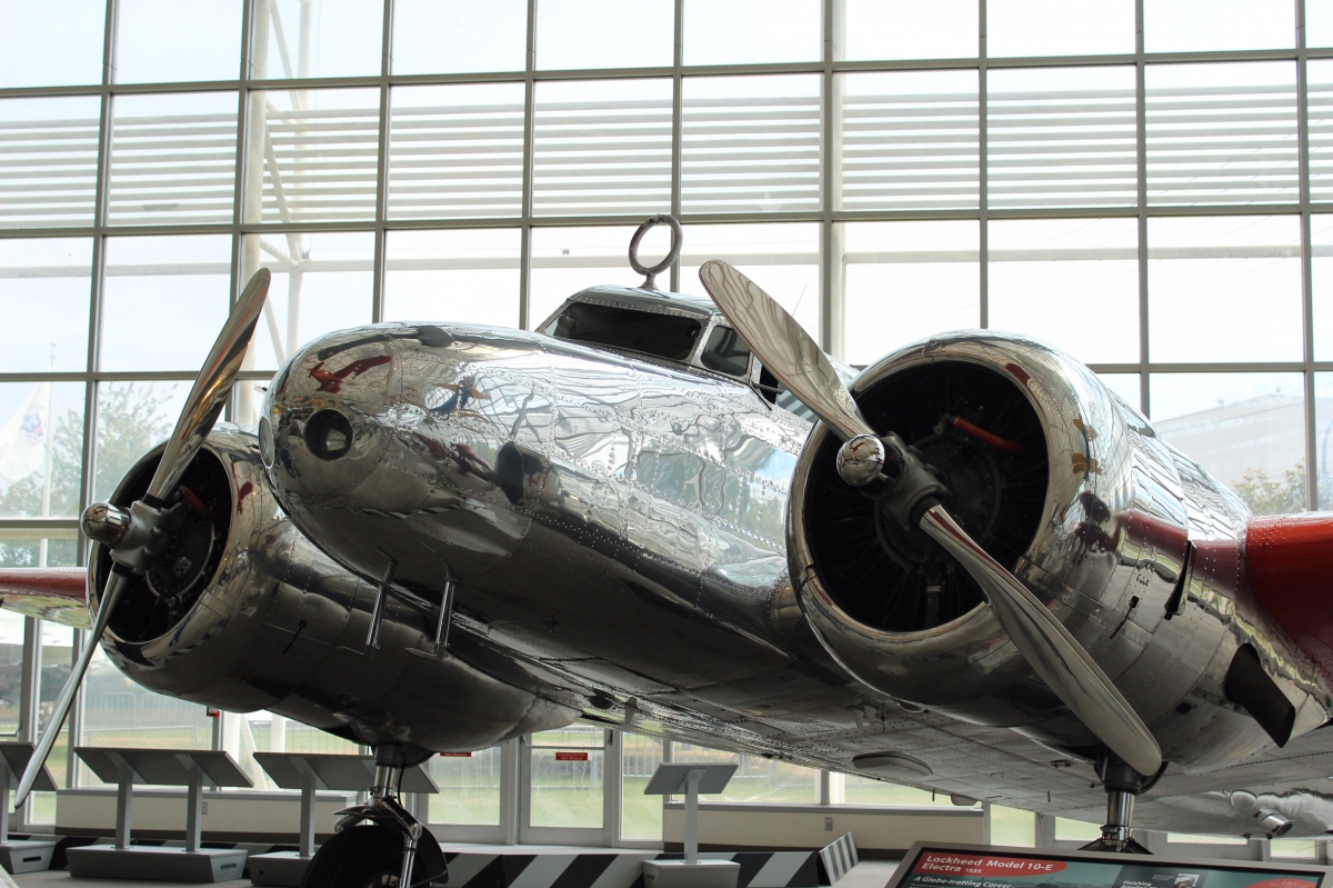
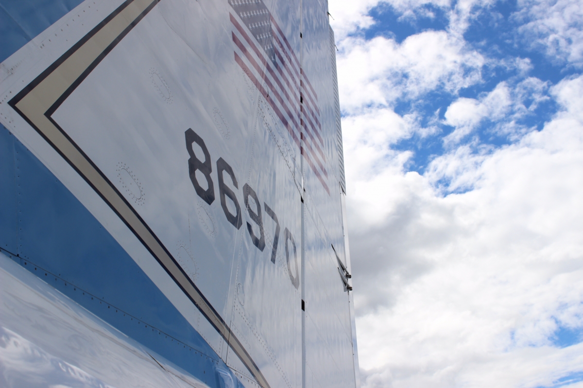
Yesterday we toured the Boeing Museum of Flight. There were probably over 100 airplanes there including some very rare ones. Below is a picture of part of the Museum. All the airplanes are real airplanes.
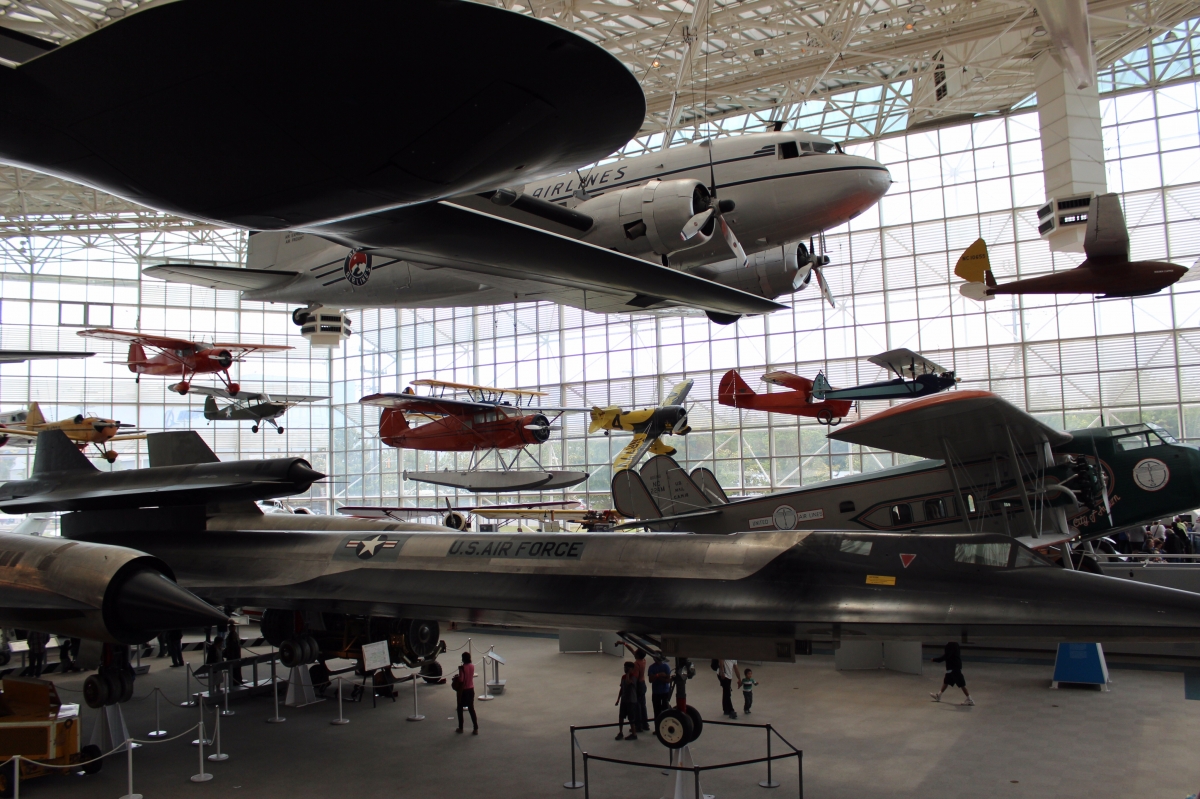
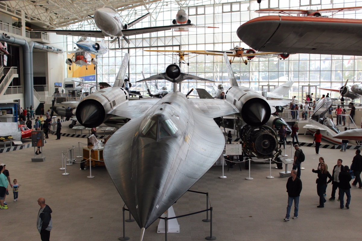
One of the rare aircrafts was a Blackbird M21 one of the fastest airplanes ever flown.
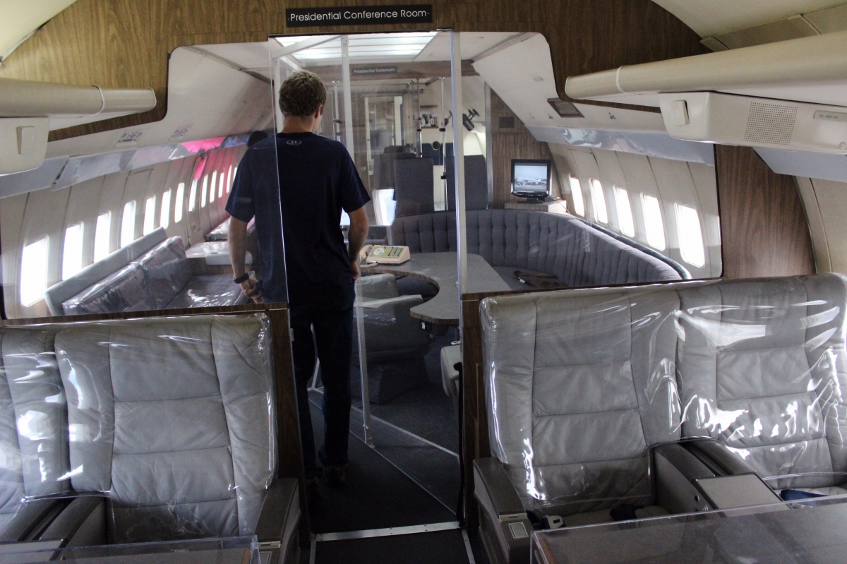
The Air Force One, or President’s plane, was also there. This was a retired Plane used by Presidents Eisenhower, JFK, LBJ, Nixon, Ford, Carter and Reagen .
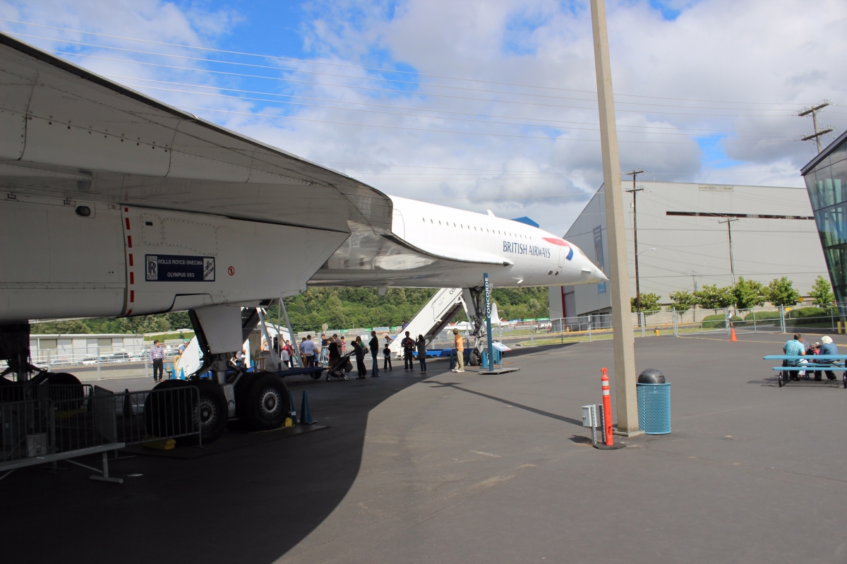
We were also able to take a walk through a Concorde.
It was an amazing place with a lot to see!